 vesseltracker.com
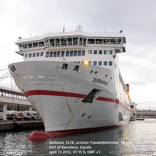
Vessel ISLE OF INISHEER IMO: 9181091, MMSI: 210780000 Passenger/Ro-Ro Ship (vehicles)
UTC, 51.04912, 2.35858, course: 222, speed: 0
UTC, 51.04912, 2.35857, course: 222, speed: 0
2026-02-17 15:54:12 UTC, 51.04910, 2.35857, course: 222, speed: 0
Live AIS position:
UTC. Near Dunkerque),
updated 2026-02-17 15:54:12 UTC.
Find the position of the vessel ISLE OF INISHEER on the map. The latter are known coordinates and path.
marine traffic ship tracker show on live map
The current position of vessel ISLE OF INISHEER is 51.04910 lat / 2.35857 lng. Updated: 2026-02-17 15:54:12 UTCCurrently sailing under the flag of Cyprus
ISLE OF INISHEER built in 2000 year
Deadweight:
7396 tDetails:
Last coordinates of the vessel:
UTC, 51.04915, 2.35857, course: 222, speed: 0UTC, 51.04912, 2.35858, course: 222, speed: 0
UTC, 51.04912, 2.35857, course: 222, speed: 0
2026-02-17 15:54:12 UTC, 51.04910, 2.35857, course: 222, speed: 0